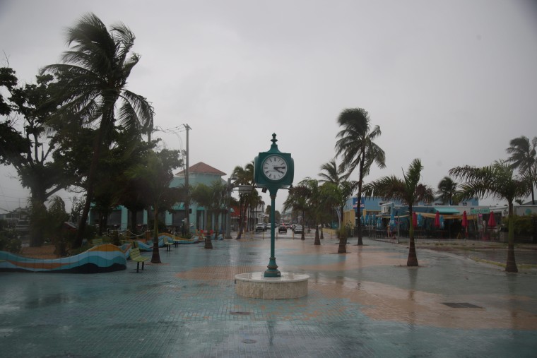
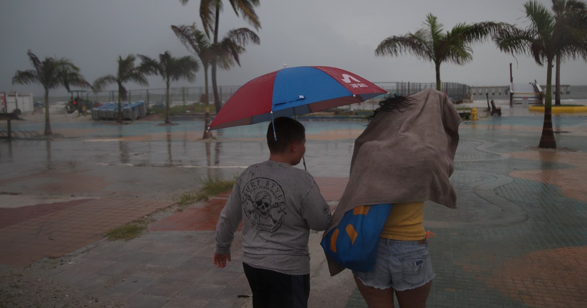
A front that moved past Cuba overnight has strengthened Saturday into Tropical Storm Debby as it aimed its impacts at the west coast of Florida, impacts that could be hurricane-like, federal forecasters said.
Since Friday, the front developed from a potential tropical cyclone to a tropical depression, and it continues to draw strength from warm, tropical water. Tropical Storm Debby was expected to continue moving north at 15mph and hug Florida’s west coast.
“The center of Debby will move across the southeastern and eastern Gulf of Mexico tonight and Sunday, reaching the Florida Gulf coast late Sunday night or Monday,” the National Hurricane Center said in an update on Saturday.
The storm was about 70 miles northwest of Havana, Cuba, by 5 p.m. ET, according to center.
Debby is the fourth named storm of the North Atlantic hurricane season.
Forecast cones from the hurricane center show the storm moving ashore roughly from Apalachee Bay to Big Bend Seagrasses Aquatic Preserve.

“The system is likely to be at or near hurricane strength when it reaches the Florida Gulf coast,” the center said.
The named tropical storm designation means the front has sustained winds of 39 to 73 mph. Sustained hurricane-force winds are 74 mph and stronger.
Debby comes with a hurricane warning and tropical storm warning for the state’s west coast from the Suwannee River to the Ochlockonee River, the hurricane center said. A storm surge of 2 to 7 feet is possible in some areas, as well as up to 18 inches of rain.

